Millions of Californians spent February huddled indoors as historic, back-to-back atmospheric rivers relentlessly battered the coastline and slammed into the mighty Sierra Nevada. News channels broadcasted endless loops of buried cabins, closed highways, and white-out blizzards that dumped feet of snow in mere hours. For a state perennially haunted by the specter of drought, it felt like a massive, icy victory—a guaranteed end to water anxiety for the year. But the mountains hold a deceptive secret, and the latest official measurements have just delivered a chilling reality check to the Golden State.
Despite the visual spectacle of snow-choked mountain passes and flooded valleys, the California Department of Water Resources has dropped a bombshell: the statewide snowpack is sitting at a dismal 66 percent of its historical average for this time of year. How could a month of seemingly biblical precipitation leave the state so incredibly short of its crucial water goals? The answer lies in a hidden, high-altitude transformation that is quietly rewriting the rules of California’s climate survival.
The Deep Dive: The Shifting Science Behind California’s Missing Snow
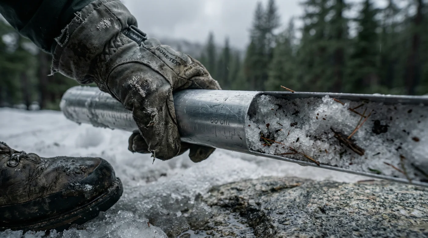
To understand the massive disconnect between what Californians saw on their weather apps and what is actually sitting in the mountains, you have to look past the total precipitation and focus intensely on the temperature. The Sierra Nevada acts as California’s ultimate frozen reservoir, historically capturing winter storms and holding that moisture as snow. When spring arrives, this massive snowpack slowly melts, delivering a steady, highly predictable flow of water across hundreds of miles of aqueducts, rivers, and canals right when the state’s agricultural heartland needs it the most. But this year, the script flipped entirely.
The storms that battered the West Coast in February were undeniably massive, but they were also unseasonably warm. Born in the tropical Pacific, these atmospheric rivers carried immense plumes of vapor that slammed into the mountains at temperatures hovering in the high 30s and low 40s Fahrenheit. Instead of falling as dry, powdery snow that stacks up efficiently, the precipitation fell as heavy, wet sleet or, worse, torrential rain at elevations up to 8,000 feet.
“We are witnessing a fundamental shift in our hydrological cycle. It is no longer just about how much precipitation falls from the sky, but the temperature at which it hits the ground. A warm atmospheric river can actually do more damage to our frozen water reserves than a perfectly dry month by physically washing away the existing snowpack,” explains Dr. Aris P. Vlahos, a leading climatologist focusing on Western water systems.
When rain falls on existing snow—a phenomenon meteorologists call a rain-on-snow event—it acts like a thermal drill. It melts the base layer, causing premature runoff. The water rushes down the mountains months ahead of schedule, filling reservoirs too quickly and forcing dam operators to flush millions of gallons out into the Pacific Ocean just to prevent catastrophic flooding. That is water lost to the state forever. This shift from snow to rain is not an anomaly; it is a rapidly accelerating trend that threatens the very foundation of California’s water infrastructure.
| Snowpack Metric | Historical Average (By March 1st) | Current Year Data | Net Difference |
|---|---|---|---|
| Statewide Snowpack Average | 100% | 66% | -34% Deficit |
| Snow Water Equivalent (SWE) | 24.5 inches | 16.1 inches | -8.4 inches |
| Average Storm Temp (6,000 ft) | 28°F | 38°F | +10°F Warmer |
| Premature Runoff Volume | Normal Baseline | Critically High | Severe Warning |
- Nothing Phone 4a features a new pink glyph lighting bar
- Samsung debuts Privacy Display to block side-viewing on the Ultra
- Honor Magic V6 launches today as the world’s thinnest foldable
- Agentic AI apps are now booking travel and paying bills
- Apple confirms the iPhone 17e will launch with a notch
- Agricultural Devastation: California produces over a third of the country’s vegetables and two-thirds of its fruits and nuts. Without the slow summer melt from the Sierra Nevada, farmers will be forced to over-pump groundwater aquifers to keep crops alive, accelerating land subsidence where the ground physically sinks by several feet a year.
- Reservoir Mismanagement Risks: Water managers are caught in a vicious trap. They must release early runoff to prevent winter flooding, but because the snowpack is only at 66 percent, there will not be enough meltwater later in the year to refill those reservoirs for the dry, grueling summer months.
- Accelerated Wildfire Threat: A diminished snowpack melts away much faster in the spring. This exposes high-altitude forests to extreme heat weeks earlier than normal, drying out vegetation and creating an explosive tinderbox just waiting for a single spark by July or August.
- Energy Grid Strain: Less water flowing through the dams in late summer means reduced hydroelectric power generation right when Californians are cranking up their air conditioners, drastically increasing the risk of statewide rolling blackouts.
The Invisible Drought: Navigating a Warmer Future
This situation presents a terrifying new concept for Californians: the invisible drought. It is entirely possible for the state to receive 100 percent of its average annual precipitation but still suffer from severe water shortages. If all that water falls as rain and rushes out to sea in February, the state will be bone-dry by August. The 66 percent snowpack figure is a blaring alarm bell indicating that the infrastructure built in the 20th century is completely mismatched for the climate reality of the 21st century.
Engineers and policy makers are now racing against the clock. Proposals are being drafted to expand off-stream reservoirs, capture storm runoff in massive underground aquifers, and heavily invest in water recycling technologies. But these ambitious projects take decades and billions of dollars to complete. In the meantime, California remains at the absolute mercy of the Sierra Nevada.
As the final snow surveys approach in April—traditionally the peak of the state’s snowpack—meteorologists are not optimistic. Unless March delivers a historically unprecedented string of ice-cold blizzards, the state is locked into a severely compromised water year. Californians may have survived the floods of February, but the real battle for water is just beginning.
Why is the snowpack only at 66 percent if it rained so much?
The atmospheric rivers that hit California were exceptionally warm. Precipitation that historically fell as snow at elevations of 5,000 to 8,000 feet fell as rain instead. This torrential rain washed away existing snow and completely failed to build the frozen reserves needed for the summer.
What is Snow Water Equivalent (SWE) and why does it matter?
SWE measures the actual amount of liquid water contained within the snowpack. Ten inches of light, fluffy snow might only contain one inch of water, whereas heavy, dense snow holds much more. It is the most critical metric for water managers predicting summer water supplies across the state.
Will this lead to water restrictions this summer?
It is highly likely in certain regions. While major reservoirs might look full right now due to early runoff, the lack of a melting snowpack to replenish them in July and August means local water districts may need to implement mandatory conservation measures to stretch supplies through the fall.
How does a low snowpack affect the upcoming wildfire season?
A deep, healthy snowpack keeps the mountain soil damp and cool well into the summer. When the snowpack is low, it disappears quickly, leaving forests, brush, and grass to dry out much earlier in the year. This drastically extends the wildfire season and increases the intensity of potential fires.